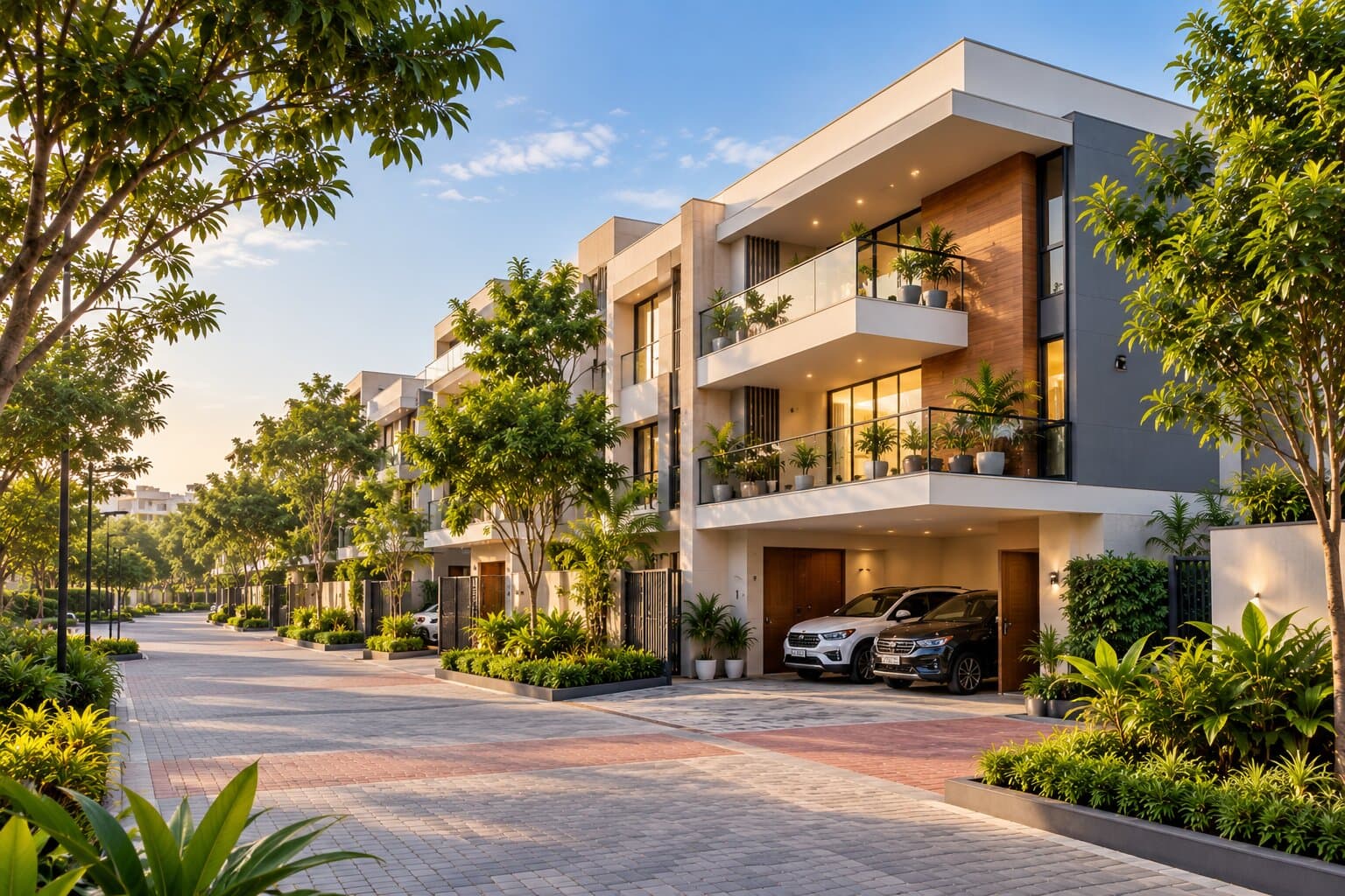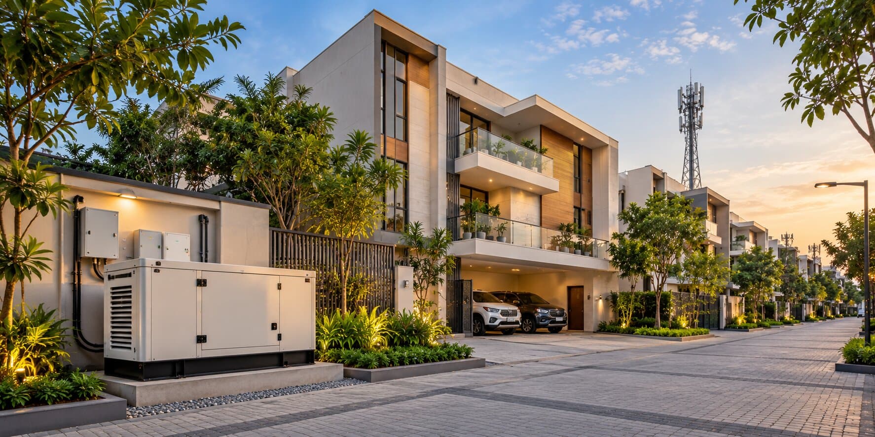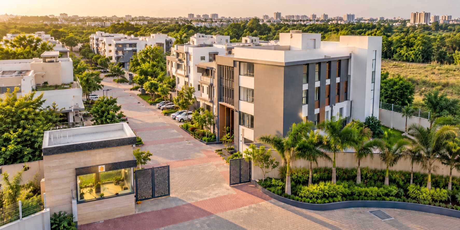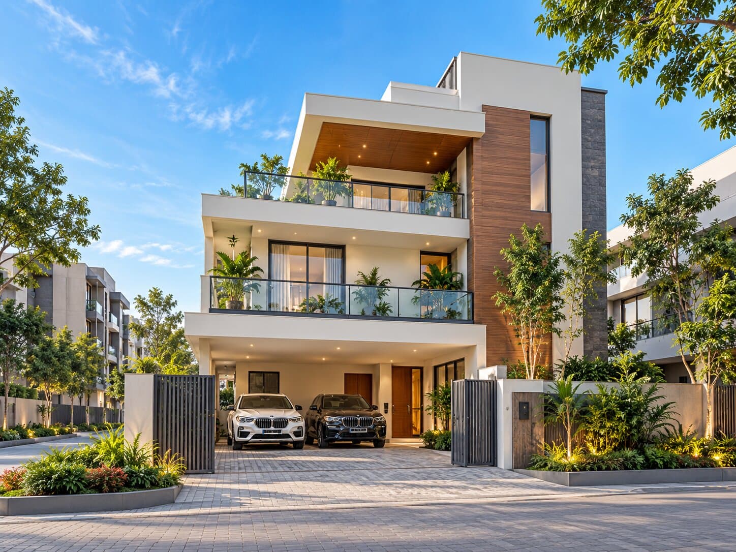
A villa can be close to a metro station, office park or main road and still be difficult to reach. The final stretch between the major transport corridor and the property often determines whether the location feels convenient every day.
Last-mile connectivity includes the approach road, junctions, walking route, feeder transport, drainage and access for larger vehicles.
Last-mile problems are easy to miss because property visits are often arranged during quieter hours. A proper assessment should test how the route functions during ordinary weekday conditions and after rain.
Mark the True Start of the Last Mile
The last mile does not always measure exactly one mile or one kilometre. It begins where the dependable main network ends and the property-specific journey starts.
For one villa, this may be the turn from Whitefield Main Road. For another, it may begin after leaving a metro station, bus stop or office shuttle point.
Mark:
- The nearest major road
- The junction used to enter the neighbourhood
- The villa-community gate
- The route from the gate to the individual unit
- Alternative entrances, if any
- Public-transport pickup points
Drive or walk the full stretch. Do not assess it only from a map or from the villa entrance.
Check the Clear Road Width
The stated and usable road widths can differ. Parked vehicles, waste bins and open drains may reduce movement space.
Observe whether:
- Two cars can pass comfortably
- A school bus can turn
- An ambulance can reach the gate
- Pedestrians have safe walking space
- Vehicles reverse when traffic meets
- Parking occupies one side of the road
- Construction vehicles regularly use the route
Check the narrowest section because one bottleneck can control the entire route.
Families exploring villas in Whitefield, Bangalore should inspect the exact approach road of every project because conditions can change within the same locality.
Observe the Entry and Exit Junction
A smooth internal road offers limited benefit if the final turn onto the main road is difficult.
At the junction, look for:
- Safe visibility in both directions
- A signal or suitable turning opportunity
- Median restrictions
- U-turn distance
- Queue length during peak periods
- Wrong-side vehicle movement
- Pedestrian crossings
- Conflict with buses or commercial vehicles
Test both entry and exit. A property may be easy to enter from one direction but require a long U-turn when leaving for work or school.
Repeat the test during the morning and evening because traffic direction and queue formation may change.
Do a Rain-Condition Assessment
Dry-weather access does not reveal how the road handles heavy rain. Low points, blocked drains and unfinished shoulders can create standing water or make walking difficult.
If possible, visit during or shortly after rainfall. Otherwise, inspect for:
- Water stains on walls
- Silt collected near drains
- Damaged road edges
- Raised property entrances
- Low-lying junctions
- Open or blocked stormwater drains
- Potholes filled with sediment
- Temporary pumping arrangements
Ask nearby residents how the road performs during the monsoon and check whether water flows towards the community gate.
Walk the Route Instead of Only Driving It
A route that works for a car may be unsafe or uncomfortable for pedestrians.
Walk from the villa gate to the nearest useful bus stop, metro connection or everyday shop. Observe:
- Footpath continuity
- Street lighting
- Open drains
- Road crossings
- Stray or speeding vehicles
- Shade and weather protection
- Accessibility for elderly residents
- Safety for children
- Activity after dark
A short distance can feel much longer without a footpath. Staff, caregivers, visitors and older children may depend on this route.
Calculate the Complete Metro Connection
Marketing material may highlight the nearest metro station without explaining how residents reach it.
Test the journey from the villa door to the platform. Include:
- Time required to exit the community
- Walking, driving or feeder transport
- Parking or drop-off arrangements
- Road crossings
- Entry to the station
- Waiting time
If you plan to walk, complete the route during your expected travel period. If you intend to use a two-wheeler or car, check parking availability and the return journey after work.
A farther station with a safer, more reliable connection may be more useful than the nearest station on the map.
Test Bus, Auto and Feeder Availability
Public transport should be assessed by availability at the time it is needed.
Ask:
- Where do buses or autos stop?
- Is transport available early in the morning?
- Can residents find transport after a late shift?
- Does the office shuttle enter the road?
- Is app-based cab pickup reliable at the villa gate?
- Where do drivers wait without blocking traffic?
Make a trial booking during a weekday morning and evening. Children, parents and staff may depend on alternative transport.
Follow a School Bus Through the Approach Road
School-bus access is a separate test because large vehicles need more width and turning space than cars.
Confirm whether the bus:
- Enters the villa community
- Stops at the main gate
- Requires children to wait on a public road
- Can turn without reversing
- Blocks other vehicles during pickup
- Has a safe waiting point
Observe the route at school pickup time. Several buses arriving together can change traffic conditions significantly.
If the bus stops outside the community, check lighting, shelter, pedestrian space and adult supervision.
Verify Emergency Access
Emergency vehicles require a clear and dependable route at all hours.
Walk the route with the community team and identify:
- Gate-opening procedure
- Security availability
- Narrow bends
- Speed barriers
- Low overhead obstructions
- Unauthorised parking
- Turning areas
- Villa-number visibility
- Alternative access during roadwork
A project should not depend on residents moving several parked vehicles before an ambulance or fire vehicle can pass.
Buyers considering premium 4 BHK villas in Whitefield for multigenerational living should give emergency and caregiver access additional weight.
Inspect the Route After Dark
Daytime activity can make an approach road feel safer than it is after shops close.
Visit in the evening and check:
- Streetlight coverage
- Dark stretches
- Visibility at turns
- Pedestrian presence
- Open commercial plots
- Security near the gate
- Availability of transport
- Water or road hazards that are difficult to see
People working late shifts should complete the route at their approximate return time. Families should also consider whether children or elderly residents may use the road after sunset.
Distinguish Current Access From Proposed Access
A project may advertise a future road, new entry or planned infrastructure improvement. These changes may be helpful, but the property should be assessed using the access available today.
Ask for clarity on:
- Which road is currently usable
- Whether the project has legal access to it
- Who maintains the road
- Whether widening requires additional land
- Whether a second gate is approved or proposed
- Whether construction timelines are documented
Do not assign full value to a connection that depends on unresolved approvals or third-party land. Treat future access as a potential benefit rather than a current feature.
Check Whether the Road Can Handle Growth
Look for nearby construction, undeveloped plots, commercial buildings and planned school or office entrances. Estimate whether the road can support more residents without losing pedestrian space or becoming dependent on roadside parking.
Use a Last-Mile Scorecard
| Factor | Questions to Ask |
|---|---|
| Road capacity | Can cars, buses and emergency vehicles pass? |
| Junction access | Are turns and U-turns practical? |
| Rain performance | Is drainage dependable? |
| Walking safety | Are lighting and pedestrian space adequate? |
| Public transport | Is the connection usable at required times? |
| Daily services | Can deliveries and service vehicles reach the villa? |
| Future resilience | Can the road support nearby development? |
Use the same time, weather assumptions and transport modes for every shortlisted property.
Conclusion
Last-mile connectivity determines whether a well-located villa is genuinely easy to use. The main road, metro station or office park may be close, but the final approach must support cars, pedestrians, school buses, deliveries and emergency vehicles.
Inspect the narrowest road section, test both directions, walk the route and review drainage after rain. Separate existing access from proposed improvements and consider how nearby development may change traffic.
Once the final stretch qualifies, you can compare luxury villas in Whitefield, Bangalore or the wider range of villas for sale in Bangalore with greater confidence in the location’s everyday usability.
Frequently Asked Questions
1. What does last-mile connectivity mean for a villa?
It is the final connection between the villa and a main road, metro station, bus stop or workplace route, including the approach road and transport options.
2. How can buyers test a villa’s approach road?
Drive and walk it during morning, evening and post-rain conditions. Check road width, junctions, lighting, drainage and alternative access.
3. Is being close to a metro station enough?
No. Buyers must evaluate the complete journey to the platform, including walking safety, feeder transport, parking and road crossings.
4. Why should school-bus access be checked separately?
School buses require more turning and road space than cars. The pickup point must also be safe for children during busy hours.
5. Should proposed roads influence a villa purchase?
They can be treated as a possible future benefit, but the property should remain practical using roads and access available at the time of purchase.